Nepal measuring world's tallest peak


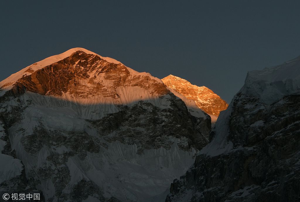
KATHMANDU - A team from Nepal has restarted its first measurement of Mount Qomolangma, also known is the West as Mount Everest, the Nepali Department of Survey said.
The department, which began its mission in February, said it is measuring the world's tallest mountain to see if it was effected by a massive earthquake that hit Nepal in 2015.
Geologists say the quake may have shrunk the mountain by about 3 centimeters. They also want to investigate whether climate change has altered the mountain's height.
Although expeditions from different countries have measured the altitude of Qomolangma, producing diverse results, Nepal was not the part of those expeditions.
This year marks the 65th anniversary of Sir Edmund Hillary's and Sherpa Tenzing Norgay's successful ascent of the mountain.
Over the next month, Nepali surveyors will gather measurements from the Himalayan country's southern plains, where they will calculate sea level. During climbing season, dependent on weather, a team of trained Sherpas will bring a GPS receiver to the summit and put it on the ice for an hour to calculate the height of the sea from satellites and measurements of gravity at the base, The New York Times reported.
Earlier, the department had organized a workshop inviting experts from around the world to finetune the method of measurements in December.
It plans to measure both rock height and height with snow and said it will involve foreign experts during the data processing to ensure international recognition of the result.
Nepal has so far recognized 8,848 meters as the altitude of the mountain as measured by the Survey of India in 1954. China reassessed the summit in 2005 and measured the height at 8,844.43 meters covered by 3.5 meters of snow.
In 1999, the US National Geographic Society and Boston's Museum of Science measured the height of the peak at 8,850 meters including snow.
China Daily/Xinhua