Surveyors take giant steps to recalculate height of Qomolangma


High standards
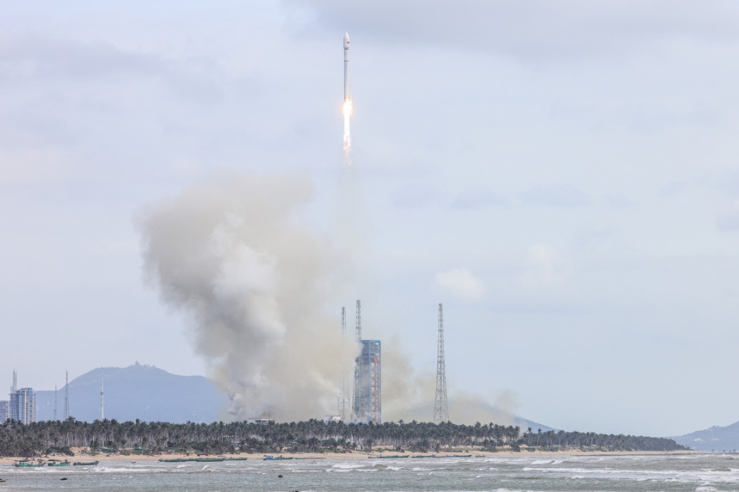
"China's surveying and mapping technology has been of international standard since the 1970s. China is developing more and better surveying equipment, some of which was used during this year's survey, such as the BeiDou-3 Navigation Satellite System," said Dang from the academy of surveying and mapping.
He added that the gravity survey was the highest ever taken, thus setting a world record. The previous record was set by surveyors Ren Xiubo and Bai Huagang in 2005 at an altitude of 7,790 meters.
Li Guopeng, from the 1st Geodetic Surveying Brigade, said: "The gravity survey bridges traditional and modern measurement technologies. With it, scientists can better analyze the data collected via the two measurements and get an even more precise result."
As the force of gravity weakens slightly the higher one rises above sea level, Li said very sensitive measurements of the actual gravitational field on or near Qomolangma can be used to calculate the location of the geoid-a model of global mean sea level that is used to measure surface elevation-below the summit.
According to Jiang, from the academy of surveying and mapping, there was no previous record of ground gravity data from the summit of Qomolangma.
"But the survey in May has filled in the blank, which will not only contribute to the calculation of the mountain's height, but also help us to understand the tectonic movements that lead to earthquakes," he said.
Jiang said the gravity measuring equipment used in last month's survey was made in China, and as it only weighed about 15 kg it was carried to the summit in a backpack.
"This domestically made device is smaller and lighter than imported units; the design perfectly matched the survey this time," he said.
In addition to BeiDou-3 and the gravity survey equipment, he listed other Chinese-made devices used in the survey, including a radar to measure snow depth and a long-distance range finder.
"Chinese surveying and mapping technology is currently among the best in the world. Therefore, the survey conducted by the country's leading experts in the field will be reliable and authoritative," he said.