Chinese satellites join relief efforts after Xinjiang quake


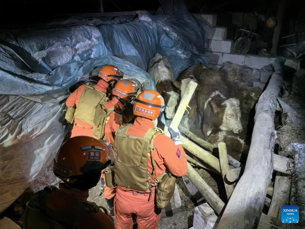
BEIJING -- China has applied its Gaofen series satellites to help with the relief work following a 7.1-magnitude earthquake in Northwest China's Xinjiang Uygur autonomous region, said the China National Space Administration (CNSA) on Tuesday.
Satellites including Gaofen 4 and Gaofen 1 families were deployed to capture images of the quake-hit areas. The remote sensing images of the earthquake hit areas will be instantly shared to the emergency departments for damage analysis, said the agency.
The CNSA will continue to mobilize civil satellites to support disaster prevention and relief efforts, and provide spatial information support for disaster monitoring and decision-making, it added.
Three people have been killed and five others injured in the earthquake that jolted Wushi county in Aksu Pprefecture of Xinjiang at 2:09 am Tuesday (Beijing Time).


- World Television Day celebrated with conference in Shanxi
- University launches new AI department to align with national priorities
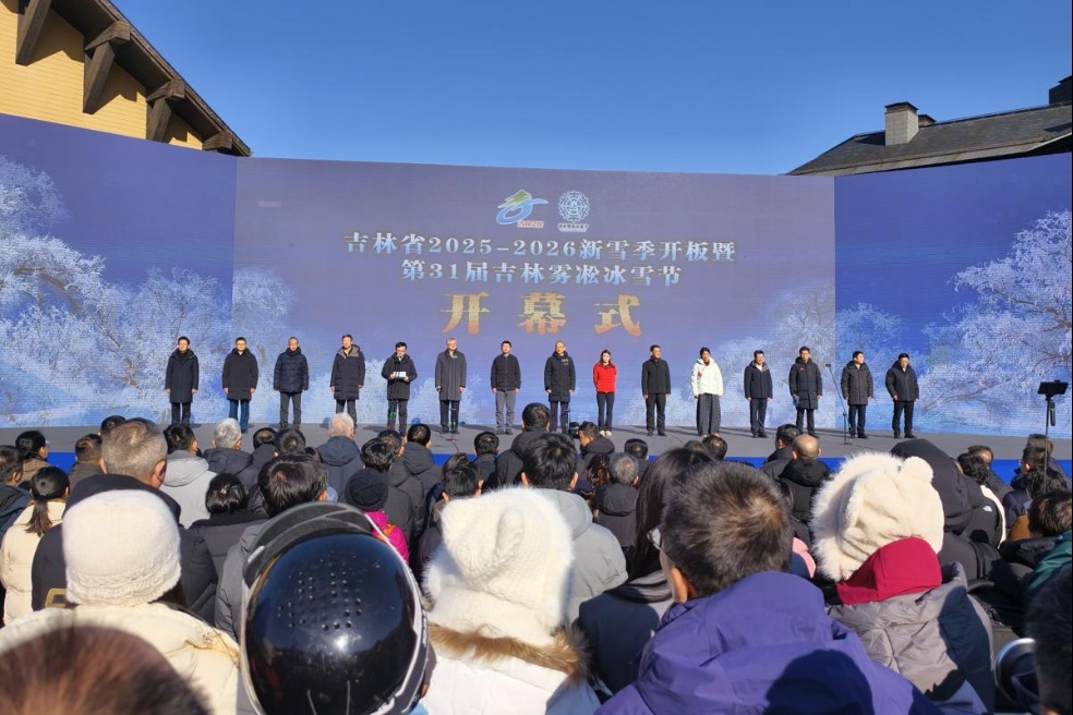
- Jilin kicks off 2025-26 snow season with grand opening event
- China hails 'hard-won' COP30 Global Mutirao decision
- China-SA science exhibition showcases innovation, cultural exchange
- China opens draft regulations on data protection to public consultation