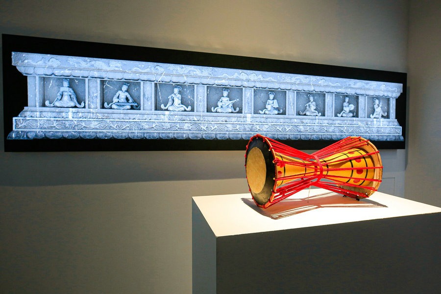


Loess Plateau


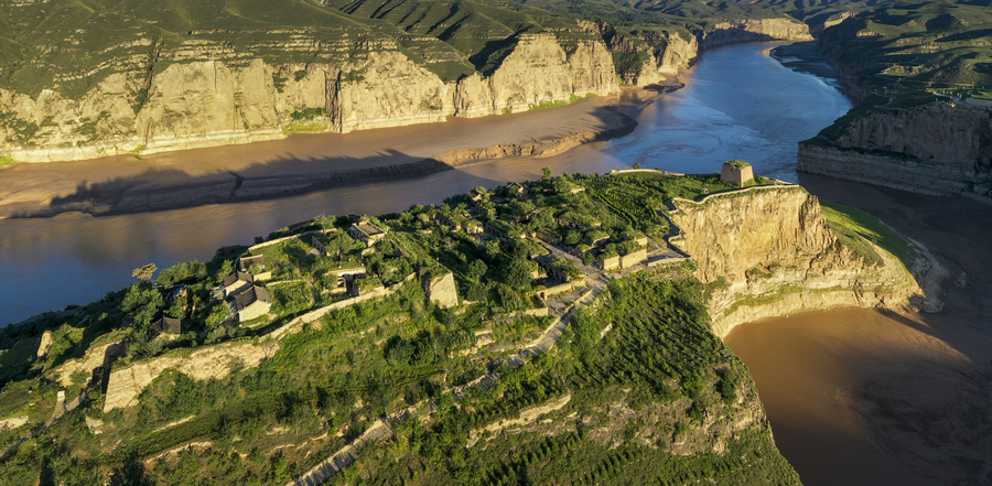
The Loess Plateau, situated in northern China, boasts distinct geographical features delineating its expanse: it abuts the Inner Mongolia Plateau to the north, the eastern boundary is demarcated by the Taihang Mountains, to the west lies the Wushaoling, and its southern border is defined by the Qinling. Save for the Qinling to the south, the remaining borders are fortified by segments of the Great Wall. Internally, the plateau is divided into three regions by the Taihang Mountains and the Liupan Mountains: the Shanxi Plateau, exhibiting remnants of the Great Wall from the Northern Wei and Ming dynasties; the Shaanxi-Gansu Loess Plateau, showcasing constructions from the Warring States period, Qin-Han dynasties and Ming dynasty; and the Longxi Plateau, which played a vital role as a strategic frontier for the state of Qin during the Warring States Period (475-221 BC) in defending against northern nomadic tribes. Following the unification of China by Emperor Qin Shi Huang, it retained its significance as a crucial area for the construction of the Great Wall.

The Great Wall constructed by the Qin state during the Warring States Period (475-221 BC): It was primarily erected to defend against the incursions of the Xirong, a confederation of nomadic tribes from the western frontiers, with particular emphasis on the Yiqirong, who posed a significant threat to the security of the Qin state. Through a combination of strategic military campaigns and astute political maneuvers, the Qin successfully weakened the power of the Yiqirong. Following their subjugation, the Qin Dynasty extended the Great Wall across the lands once controlled by the Yiqirong. This fortification was a proactive measure to safeguard against potential invasions from other nomadic tribes residing in the north.

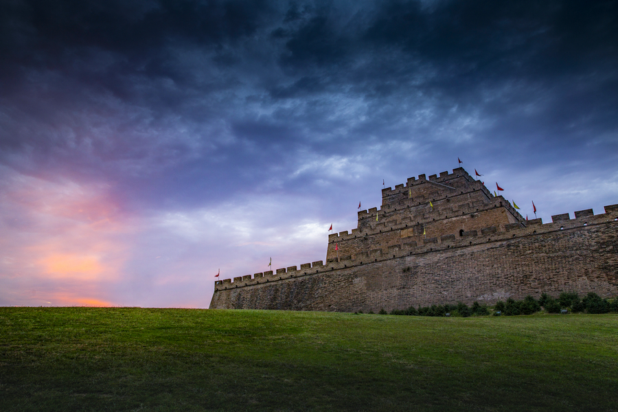
Shanxi Town Great Wall of the Ming Dynasty (1368-1644): Shanxi Town, also known as Taiyuan Town, held responsibility for overseeing the three outer passes of the Inner Great Wall: Yanmen Pass, Ningwu Pass, and Piankou Pass. The eastern section of the Shanxi Town's Great Wall lies within mountainous terrain, spanning from the Taihang Mountains to the Hengshan Mountains, with the renowned Yanmen Pass strategically situated amidst these rugged peaks. On the western side, the wall traverses hilly terrain, stretching all the way to the Yellow River, where Piankou Pass is situated. Similar to Jizhen, Xuanfu and Datong towns, Shanxi Town served as a vital military stronghold for the defense of the capital.
Yulin Town Great Wall of the Ming Dynasty (1368-1644): Originally named Yansui Town in the early Ming Dynasty, this settlement was initially situated in Suide. However, in 1473, it was relocated to Yulin and renamed Yulin Town. Positioned in the Hetao region, it emerged as an early-established military stronghold, tasked primarily with repelling southward advances of Mongol tribes into the Hetao region. The Great Wall is erected at the intersection of the Inner Mongolia Plateau and the Loess Plateau, spanning from Fugu and Shenmu in the east to Dingbian and Jingbian in the west. Yulin Town stands out as one of the earliest sites where a continuous wall was employed to establish a defensive system in the Ming Dynasty.