Carbon emissions of biomass burning quantified


A groundbreaking study by the Aerospace Information Research Institute with the Chinese Academy of Sciences has revealed the staggering carbon footprint of global vegetation fires.
The research, published in the journal Earth System Science Data, said carbon emissions from such fires averaged 25.9 billion metric tons a year between 2020 and 2022.
Grassland fires emerged as the primary culprit, with their emissions exceeding those from forest fires and crop residue burning.
"Accurately quantifying carbon emissions from biomass burning is essential for understanding the carbon cycle of terrestrial ecosystems and is a prerequisite for clarifying global and regional carbon budgets," said Shi Yusheng, the study's corresponding author and an associate researcher at the institute.
Shi said accurate data on carbon emissions from biomass burning could improve the accuracy of atmospheric transport models, which would have a significant impact on studies of terrestrial ecosystem carbon cycling and atmospheric carbon concentration.
The study focused on emissions from natural fires and did not include emissions from fossil fuels, vehicles or industrial sources. Shi said monitoring carbon emissions from vegetation fires is challenging, as they occur randomly and spread widely. The data was collected using the Fengyun series of satellites launched by the China Meteorological Administration.
Satellites can identify fires in terrestrial vegetation, allowing researchers to exclude industrial heat sources and accurately obtain data on natural fires.
"Natural fires require low moisture content in biomass, extreme dryness and specific rainfall conditions to ignite and spread," Shi said. "These factors help identify natural fires."
The study highlighted the capabilities of the Fengyun meteorological satellites in monitoring and identifying fire points, showcasing their potential contribution to global climate change governance and sustainable development.
The research findings and databases are publicly available for data sharing, providing a foundation for further global research, Shi added.
yandongjie@chinadaily.com.cn
?


- China condemns US $330m arms sale to Taiwan
- Transformation of healthcare in Xizang celebrated
- Confucius Institute expanding with new projects
- Potala Palace to implement Monday closure policy
- Workers with disabilities building new kind of community in Taicang
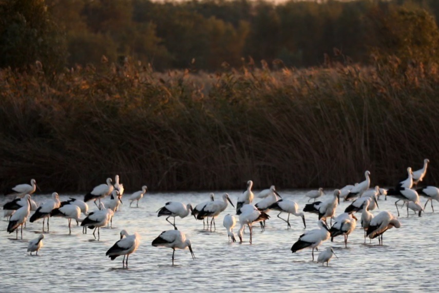
- Dongying birdwatching: More than birds, legacy in sky