Space science and sustainable development
On Nov 16, 1972, UNESCO adopted the Convention Concerning the Protection of the World Cultural and Natural Heritage. As it commemorates its 40th anniversary this year, there are 190 state parties to the convention. It is a unique international treaty that provides a common framework for the conservation of natural and cultural places of outstanding universal value. Natural wonders such as the Serengeti National Park, the Galapagos Islands and the Great Barrier Reef; cultural monuments like Angkor, the Taj Mahal and the Great Wall; and sites such as Uluru-Kata Tjuta National Park in Australia that are of both natural and cultural value, are just some of the 962 sites in 157 countries included on the World Heritage List.
The theme of the 40th anniversary of the convention is sustainable development. Many national, regional and international seminars and workshops have explored the delicate balance between conserving the World Heritage sites and promoting the economic, social and environmental well-being of people living in and around those sites. Informing and raising the awareness of local communities about the global significance of their habitats is a necessary condition for the success of national and local efforts to conserve and transmit World Heritage to future generations.
Change is the only constant in natural and societal processes, and the challenge of conserving World Heritage sites in the midst of unpredictable and accelerating changes in land and seascapes is becoming ever more difficult.
Space technologies give planners the possibility to understand the changes that are taking place. They have enhanced our knowledge and capacity to mitigate climate change, and are crucial to promoting green growth as they increase our understanding of the changes occurring in many natural resources.
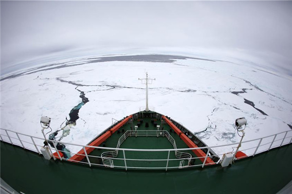
July 23 was the 40th anniversary of the launch of the first Landsat satellite. Since then many more Earth observation satellites have been launched, which have enabled humanity to have a "god's eye view" of the changes in the planet's land and seascapes, atmosphere and other sub-systems that have occurred over the past 40 years. In combination with other sources of data, changes that have occurred over a longer historical period can be modeled for even longer time horizons.
Geographical Information Systems are integral to interpreting the changes observed via satellite images and aerial photos. Combining images and other data from a range of space and airborne platforms with on-site verification and additional data collection provides an understanding of the past and allows envisioning and modeling of the future. This can then open up avenues of collaboration for sustainable development.
The International Centre on Space Technologies for Natural and Cultural Heritage - known as HIST - which is under the auspices of UNESCO, was officially inaugurated within the Centre for Earth Observations and Digital Earth of the Chinese Academy of Sciences in June last year. It is dedicated to the use of space technologies in monitoring and conserving World Heritage sites. In 2013, HIST will conduct dialogue with several Asia-Pacific countries and some African nations to explore collaboration to conserve natural and cultural heritage sites in the context of climate change mitigation and sustainable development.
HIST intends to establish a network of partner institutions in China and elsewhere to collaborate on heritage conservation in the framework of sustainable development. The experience of UNESCO's World Network of Biosphere Reserves in promoting sustainable development at landscape and regional levels through local community efforts and sound science will be sought in the design, development and implementation of HIST projects.
As places that seek to reconcile conservation of biological and cultural diversity and economic and social development through partnerships between people and nature, the biosphere reserves are ideal for testing and demonstrating innovative approaches to sustainable development from local to international scales.
Sustainable development is the most important need of our times. HIST will help meet this need by harnessing space technologies and their associated applications to demonstrate the mutually beneficial relationship between heritage and biosphere conservation and people's well-being. HIST welcomes all interested parties from both the public and private sectors within China and elsewhere to join and add value to its efforts.
Hong Tianhua is deputy director of the International Centre on Space Technologies for Natural and Cultural Heritage under the auspices of UNESCO. Natarajan Ishwaran is visiting professor at the Center for Earth Observation and Digital Earth, Chinese Academy of Sciences.