Scaling of highest mountain postponed


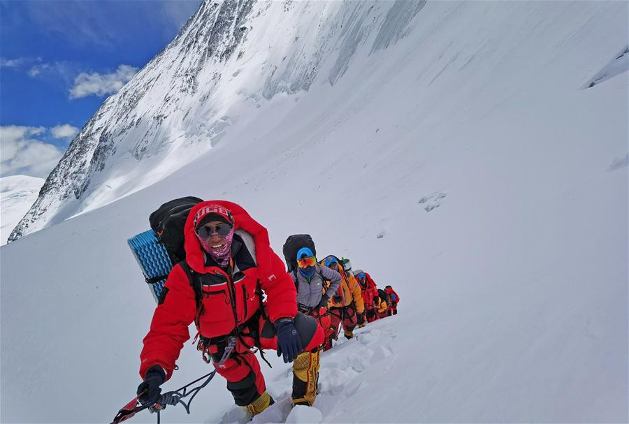
MOUNT QOMOLANGMA BASE CAMP-A Chinese mountaineering team has postponed its plan to reach the peak of Mount Qomolangma on Friday due to bad weather conditions.
Wang Yongfeng, deputy director of the General Administration of Sport's Mountaineering Administrative Center, said the climbers had decided to retreat to a camp at an altitude of 6,500 meters.
The team is on a mission to conduct surveys at the summit to accurately measure the height of Mount Qomolangma, known as Mount Everest in the West.
Wang said the rope-fixing team left a camp at an elevation of 7,790 meters at about 2 am Thursday and was blocked by deep snow and falling rocks when they climbed to an altitude of about 8,000 meters. The team members were physically exhausted and decided to withdraw to the camp.
At about 8 am, they set out again but were forced to retreat for a second time by continuous snowfall and the risk of avalanches. The team said that the ropes laid on May 12 heading toward a site 8,600 meters above sea level were unable to be found due to the strong winds and heavy snowfall on the mountain in recent days.
The weather window for the next summit attempt is still uncertain, Wang added.
Located on the China-Nepal border, Mount Qomolangma is the world's highest peak. It's northern part is located in Shigatse, in the Tibet autonomous region.
Since the founding of the People's Republic of China in 1949,Chinese surveyors have conducted six rounds of measurements and scientific research on Mount Qomolangma and released the height of the peak twice. It was 8,848.13 meters in 1975 and 8,844.43 meters in 2005.
When the Chinese mountaineering team scaled Mount Qomolangma in 1975, no professional surveyors reached the top. But the mountaineers took a survey marker to the summit, which helped surveyors from nine observation stations near the mountain to calculate its height.
Xinhua
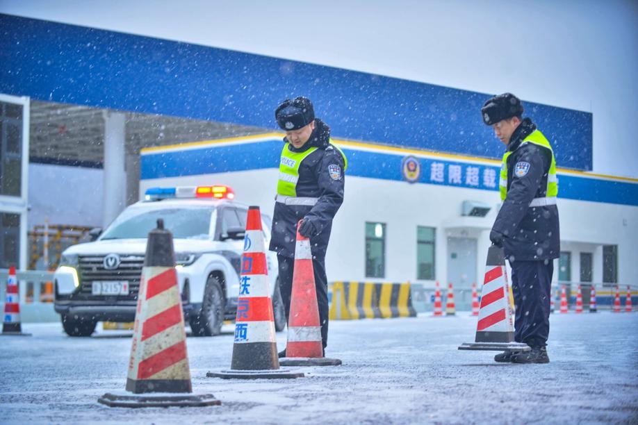

- Wave of freezing weather brings snow to northern China
- APEC 'China Year' kicks off at Shenzhen meeting
- HKSAR chief executive says to conclude residential complex fire probe within 9 months
- Viral scenic valley in China, not Japan, operators of tourist attraction clarify
- European Chamber Shanghai Chapter calls for stronger EU-China sustainability ties
- Former senior official at State Council body under investigation