Surveyors take giant steps to recalculate height of Qomolangma


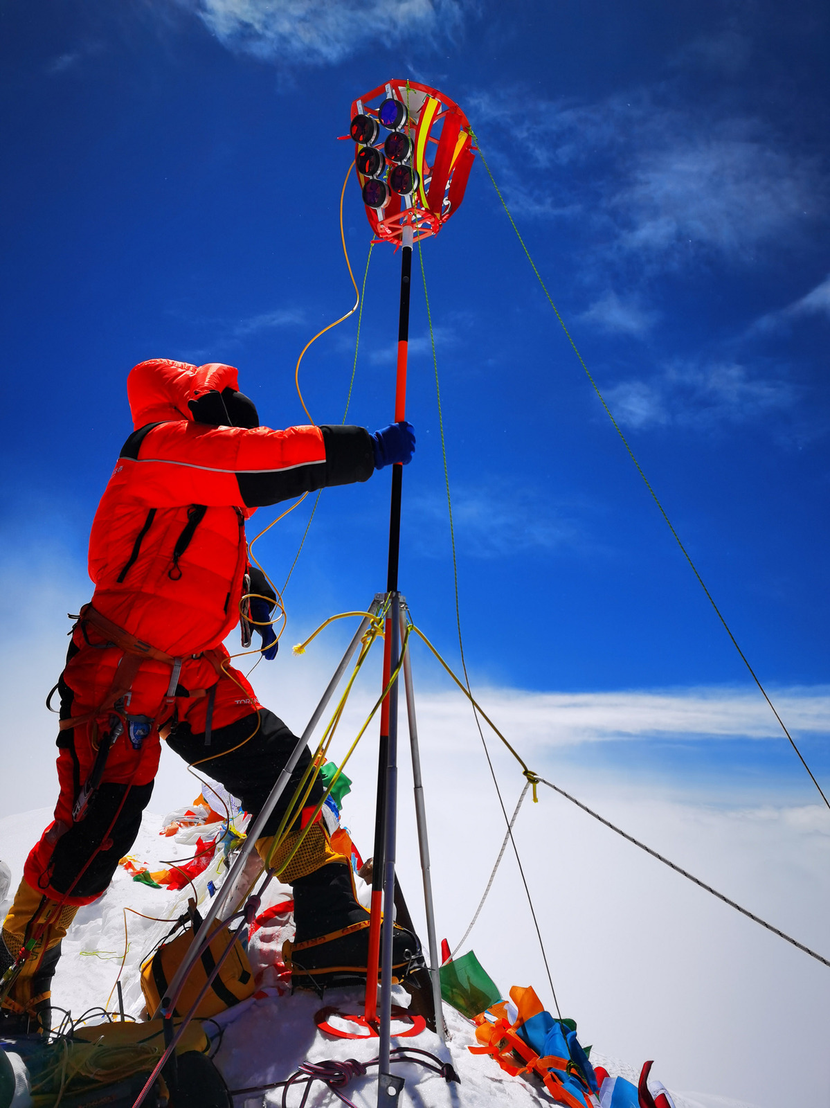
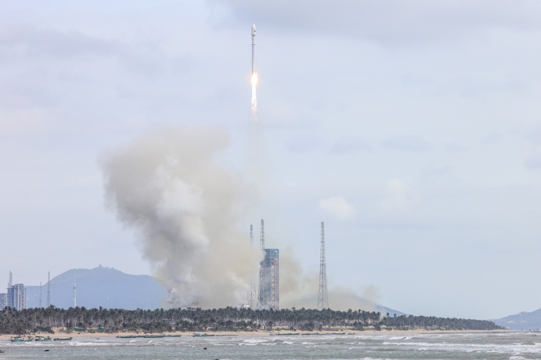
On May 27, a strong, cold wind swept across the summit of Qomolangma, known in the West as Mount Everest. The air temperature was -30 C. Eight mountaineers reached the summit at 11 am and began conducting a survey that attracted the attention of a large part of the Chinese population-precisely determining the height of the world's highest mountain.
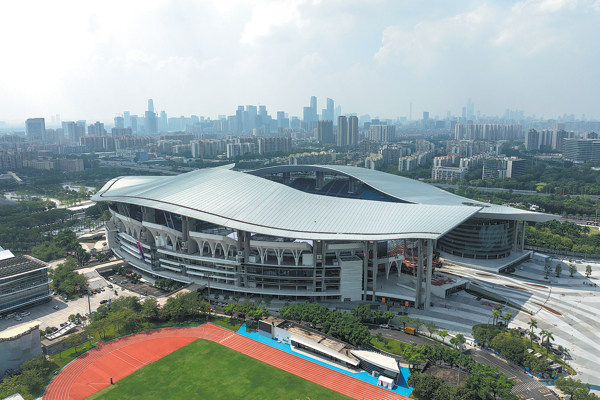
The team remained at the summit, at an altitude of about 8,840 meters, for two-and-a-half hours-a record for Chinese climbers. They erected a surveyor's beacon, an important measuring device, and installed an antenna for the Beidou Navigation Satellite System on the snow-covered peak, which measures less than 20 square meters. Meanwhile, observations were conducted from six points lower down the mountain.
It took six months of hard work to prepare for those two-and-a-half hours of data collection for scientific research. The program officially started on April 30, when the Ministry of Natural Resources announced the start of the remeasuring process. The project was undertaken in conjunction with the Ministry of Foreign Affairs, the General Administration of Sports of China and the government of the Tibet autonomous region.
"As this year marks the 60th anniversary of the first successful expedition (by Chinese mountaineers) to Qomolangma from the Chinese side and the 45th anniversary of China's first measurement of its height, the remeasurement carries great historical importance," the ministry said on its Sina Weibo account.
The mission was undertaken by the 1st Geodetic Surveying Brigade, under the ministry's jurisdiction, and members of the China Mountaineering Team, said Wang Yongfeng, deputy head of the Mountaineering Sports Management Center at the sports administration.
On May 6, a team of 30 surveyors and mountaineers started out from North Base Camp in Tibet.
It took nearly a month to finish the survey, which was one of the most challenging ever conducted on the mountain. The results will not be announced until a series of complex calculations have been completed in the coming months.
According to the ministry, innovations in techniques and equipment included the use of the BeiDou-3 Navigation Satellite System, Chinesemade surveying equipment, a gravimeter carried by plane and 3D interactive virtual reality.


- Control of precursor chemical exports tightened
- Xi greets Ouattara on reelection as Cote d'Ivoire president
- 'Book of Songs' from Chinese imperial tomb proves oldest complete copy ever found
- Exhibition highlighting the 'Two Airlines Incident' opens in Tianjin
- Average life expectancy in Beijing rises to 83.93 years
- Energy drink overdose sends delivery worker to hospital