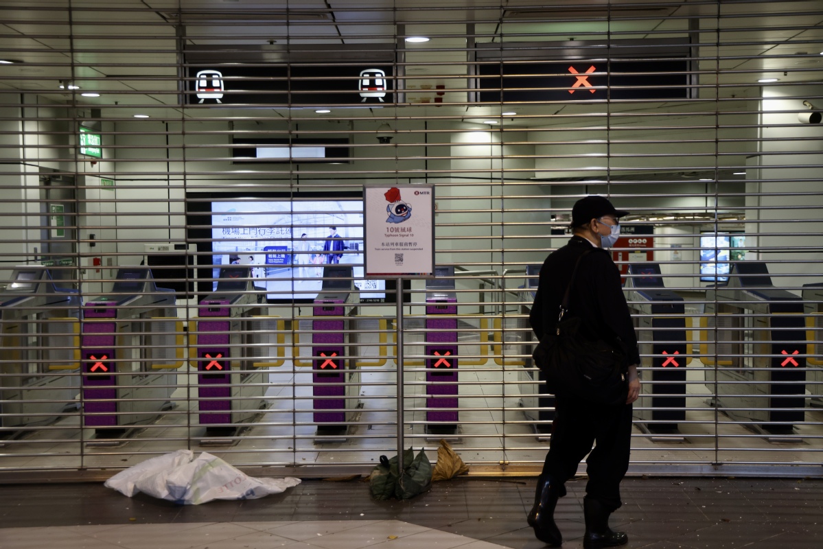
HK at standstill as No 10 goes up for Wipha


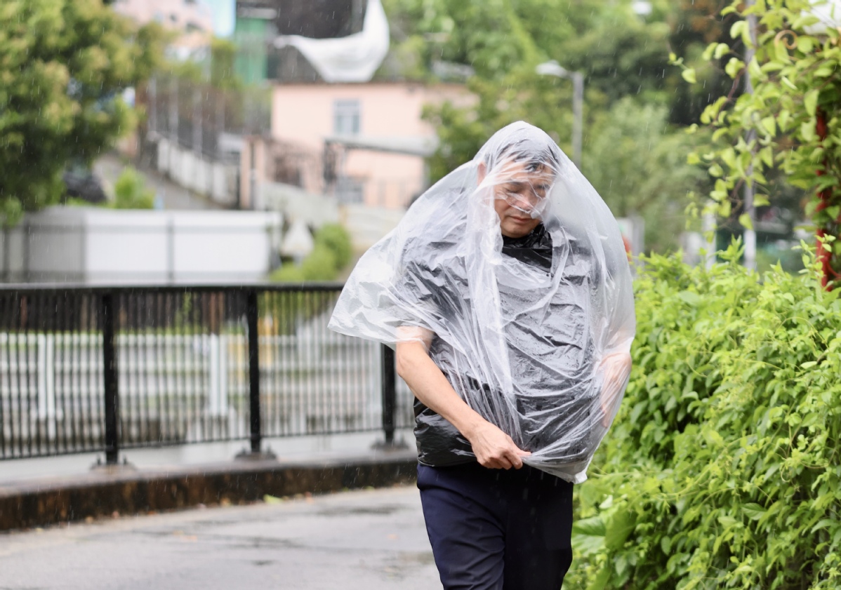
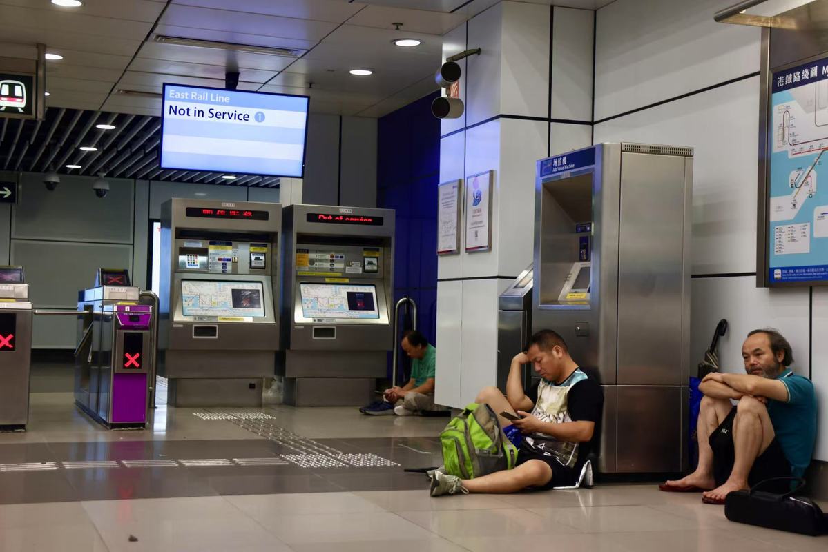
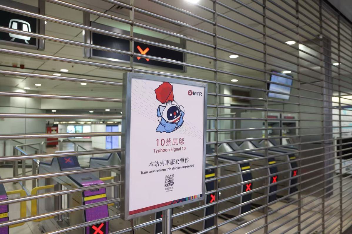
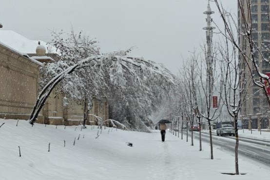
Hong Kong battened down on Sunday, with weathermen hoisting the No 10 hurricane signal at 9:20 am – the highest in the city's scale of storm intensity – as Typhoon Wipha edged closer to the territory, bringing squally showers and strong winds, and forcing the suspension of public transport services, as well as the closure of classes, piers and wetland parks.
Macao is expected to raise the No 10 signal at noon.
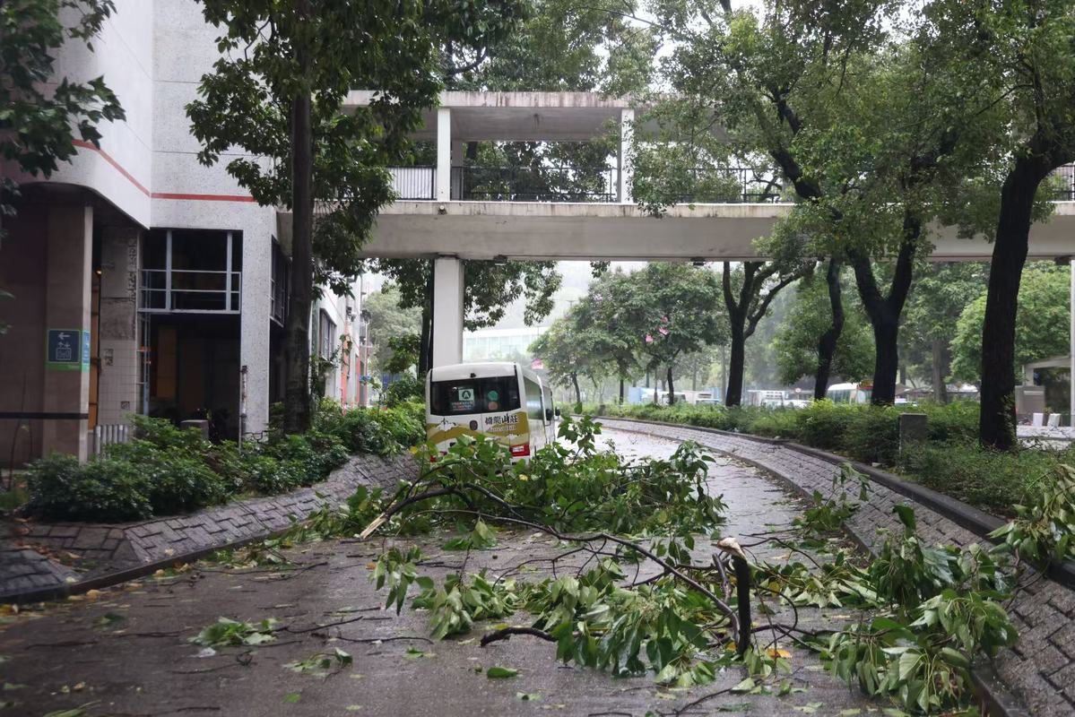
The Hospital Authority said two man was injured by 10 am this morning, while 221 people sought shelter at 34 temporary shelters opened across the city. There had been 85 reports of fallen trees by 10 am, but no flooding so far.
Typhoon Wipha is the strongest storm to hit Hong Kong in two years, with average wind speeds exceeding 118 kilometers per hour. The last time the No 10 signal was raised was in 2023 when Super Typhoon Saola struck.
The Hong Kong Observatory warned that Wipha is posing a "considerable threat", particularly in the southern region, and expects the No 10 signal to be in force for an extended period.
At 9 am, Wipha was centered about 70 kilometers southeast of the Observatory, and is forecast to move west or west-northwest at about 25 kilometers per hour, edging closer to the vicinity of the Pearl River Estuary. The hurricane will be closest to Hong Kong in the next couple of hours, skirting about 50 kilometers south of the Observatory.
The Observatory said, locally, winds will change gradually from northerly to east and southeasterly, making areas that were previously sheltered to be exposed. Residents are urged to remain on high alert, stay sheltered and be aware of destructive winds.
The Macao Special Administrative Region said it will upgrade its typhoon signal to No 10 at 12:30 pm.
Hong Kong's subway operator, Mass Transit Railway, suspended its open and light rail services.
The Airport Authority estimates that about 400 flights will resume this afternoon, involving about 80,000 passengers, with flights expected to take off gradually at about 1 or 2 pm. The AA deployed an extra 1,000 staff to maintain operations after the No 8 storm or gale signal went up at 20 minutes past midnight. Water, blankets and food were distributed to stranded passengers. The airport authorities advised passengers to contact their airlines before leaving for the airport and allow enough time to make arrangements.
The Increasing Gale or Storm Signal No 9 was hoisted at 7:20 am, meaning that winds were expected to increase significantly as Wipha, with maximum sustained winds of 120 kilometers per hour near the center, and moved closer to Hong Kong.
The Education Bureau suspended all day school classes for today, including those in secondary, primary and special schools, kindergartens, and kindergarten-cum-child care centers.
At 7 am, Wipha was centered about 110 kilometers southeast of Hong Kong, and forecast to move west, or west-northwest, at about 25 kilometers an hour, approaching the vicinity of the Pearl River Estuary.
The Observatory said gale force winds were affecting offshore waters as heavy squally showers associated with Wipha lashed Hong Kong.
Due to the storm surge, water levels rose to about three meters above chart datum at Tai Po Kau on Sunday morning, and there may be flooding in low-lying coastal areas.


- Xi attends carrier's commissioning
- Senior Xi'an official facing probe by China's anti-corruption watchdogs
- Philippines risks creating trouble for itself: China's defense ministry
- Newborn with congenital heart disease receives life-saving surgery in Yunnan
- Hong Kong charity signs diplomatic talent deal with Beijing university
- Aircraft carrier Fujian, commissioned