 |
|
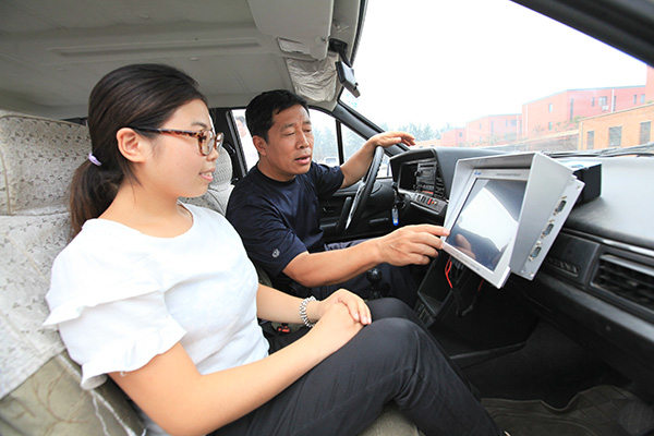
A driving instructor uses a Beidou satellite-assisted testing system to help a student improve her driving skills. The system can also help instructors plot routes for driving examinations. [Photo provided to China Daily] |
China's commercial eye in the sky is ready to produce solid down-to-earth profits for its customers.
Fifteen years after the Beidou satellite was launched, the GPS-like navigational system is helping to generate $31.5 billion for online clients such as China Aerospace Science and Industry Corp, AutoNavi Holdings Ltd, and China North Industries Group Corp.
Already 70 percent of China's population of nearly 1.4 billion use smartphones to search for popular locations, call taxis, work out travel arrangements and even jogging routes.
That is all made possible because of Beidou, which literally touches hundreds of millions of lives every day as it hovers more than 20,000 kilometers above the earth.
"The system will help create 200 billion yuan ($31.5 billion) in turnover for its customers this year," Miao Qianjun, secretary-general of the Global Navigation Satellite System and Location-based Services Association of China, or GLAC, said.
"It will be a good start for Beidou, which only launched commercial operations two years ago."
Work started on the system in 2000 with initial funding from the Ministry of Science and Technology. During the next decade, a network of satellites was rolled out laying the ground work for China's online expansion and e-commerce growth.
A regional system started to take shape three years ago, with the Beidou grid providing real-time navigational information in China and several other Asian countries, including Vietnam, Thailand the Cambodia.
By 2020, a constellation of 35 navigational satellites will come on stream.
"Beidou will be able to provide global coverage with positioning accuracy of less than 10 meters and a timing accuracy of 20 nanoseconds," a government report highlighted.
Annual turnover for China's satellite navigational market will reach 400 billion yuan by 2020, GLAC has estimated.
A key growth area will been navigational systems in commercial vehicles. A report released by the Ministry of Industry and Information Technology, or MIIT, showed that up to 20 percent of the 1 million commercial vehicles in China already use GPS products that access Beidou's technology.
Major logistics companies also tap into the network's system to track the movements of goods across the country with real-time sensors.
But there are still challenges ahead for China's home-grown commercial satellite chain.
Copyright 1995 - . All rights reserved. The content (including but not limited to text, photo, multimedia information, etc) published in this site belongs to China Daily Information Co (CDIC). Without written authorization from CDIC, such content shall not be republished or used in any form. Note: Browsers with 1024*768 or higher resolution are suggested for this site.
License for publishing multimedia online 0108263 Registration Number: 130349 ![]()